The Icelandic Meteorological Office (IMO) reported that the eruption was visible on webcams near Hagafell.

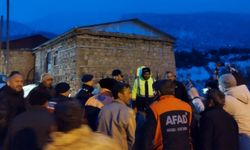
"The eruption has commenced near the evacuated town of Grindavík. Our top priorities remain the protection of lives and infrastructure," stated Iceland's President, Gudni Th. Johannesson. "Civil Defence has sealed off the affected area. We now await the unfolding forces of nature. We are prepared and remain vigilant."
While the seismic activity at the eruption site has diminished, the IMO cautioned that the eruption fissure is expanding.
"The eruption is situated on the dyke intrusion that formed in November. The lava discharge rate during the initial two hours of the eruption was estimated to be in the range of hundreds of cubic meters per second, with the largest lava fountains occurring at the northern end of the fissures," warned the IMO. "Lava is spreading laterally from both sides of the newly opened fissures, and significant ground deformation has been observed through real-time GPS measurements."

The IMO had issued warnings of a potential eruption since the detection of an "intense" earthquake swarm north of Grindavík at the end of October.
In the subsequent weeks, tens of thousands of earthquakes were recorded in the region, leading to the declaration of a state of emergency and the evacuation of Grindavík and its nearly 3,700 residents.
The popular tourist destination, Blue Lagoon, also closed down amid concerns of an imminent volcanic eruption.
Residents were evacuated from Grindavík on November 10, but a decision was made two days later to allow them to return briefly to retrieve belongings left behind. During this period, residents in an eastern district of Grindavík returned to gather their belongings, including pets, before retreating back to safety.
Additional residents from a different district were permitted to return on the morning of November 13, and eventually, all residents were given the green light to return later that day. Strict regulations were in place, allowing only one person per household to enter Grindavík, and that too, only if accompanied by a first responder. They were allotted approximately 5 minutes to gather essentials before being instructed to leave.

Residents who couldn't return on those designated days were given another opportunity on November 14. However, this opportunity was short-lived, as gas meters in the area detected an increased level of sulfur dioxide, prompting officials to evacuate the area swiftly.
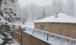
In addition to the widespread earthquakes, the IMO noted the formation of a graben-like structure, about 3 feet in depth, in parts of Grindavík due to magma intrusion. The USGS defines a graben as a section of the Earth's crust that has shifted downward relative to adjacent crusts, known as horsts, which have shifted upward.